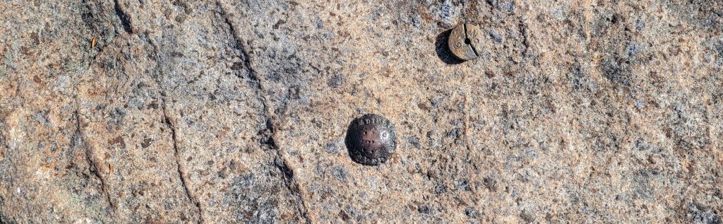
Noonmark Mountain, August 2003
| This little gem is in the Eastern High Peaks area sandwiched between The Dix Mountain wilderness and Giant Mountain wilderness. We chose this hike because of the location of the trail in reference to Round pond. Short story - Almost a year ago while hiking back from Dix Mt., the Mountain Goat was enjoying himself by the water and caught a few newts (salamanders) and asked if he could bring them home. I gave in and said yes mainly because this was our first overnight trip and I really wanted him to enjoy it. Anyway, we took them home and bought a small aquarium and welcomed them into the family. They learned to eat turtle food rather quickly and actually grew a bit. Well, after seeing them in that small cage for so long, I convinced Brendan that they were probably not very happy in there and we decided to put them back right where we found them. So we had to hike past Round Pond and Noonmark was chosen. We released the newts on the way in, took some video and pictures and headed for the peak. It's a decent climb with some rock scrambling and steepness but not very long. The peak was totally engulfed in fog when we arrived, we stayed up there for over an hour waiting for it to break while the Goat and Cat built their own cairn. It never did, so we headed back down and of course when we got to the bottom, the skies cleared completely! So, no views from the top on this trip but plenty of views from the trail. I was trying out the macro mode on my new digital camera. Enjoy! |
| >>>>Click on a thumbnail to see a larger picture |
 Proudly displaying my VFTT patch while plotting our
current position |
 Mountain Goat and Cat scrambling toward the top |
 Local toad |
 Local toadstool |
 Brian on the summit in the fog |
 The view from route 73 after we got down |
| Well, it's a few weeks before our 4th annual overnight trip and we needed a warm up hike so we decided on Noonmark Mountain. The weather report was calling for clear skies and I really wanted to check out the view from the top since it was socked in 2 years ago. We got on trail at about 8 AM and made good time getting to the summit of this steep little peak. On the way in we saw many very small toads that must've recently hatched and we had to watch our step so as not to trample them. |
 Brendan at the familiar crossroads on the Bouquet River |
Well, most of them were very
small, this one was very big
 |
| Nearing the summit, we enjoyed some wild blueberries and even saw a small rabbit right next to the trail. I almost had the camera ready when he decided he had enough. When we reached the summit, we were not disappointed with the views. |
 The Mountain Goat enjoying the Great Range just prior to
lunch. |
Dix Mountain and the Bouquet
River valley
 |
| While we were enjoying our lunch on the summit we heard a whistle but didn't see anyone. A moment later, a rock climber popped over the edge from the sheer south facing cliff. That was rather interesting and a first for us. We chatted with him while he set his anchors and coached his younger partners up the wall. |
 I snapped this just as he popped over the edge |
 Brendan reminiscing about a
hot day on Giant 3 years ago (trip
report) |
| Well, we had a great day on this little Mountain, the weather was really nice and the views were great. My legs feel good so I think one more warm up before our annual overnight should do it. |
 Brendan had to rebuild the Cairn that he made the last
time. |
October 2026
It had been 21 years since I climbed this little mountain in the Eastern High Peaks, and I could not have picked a better day to do it, as you will see. The weather was perfect and the fall colors were just a little past peak, but still very vibrant.
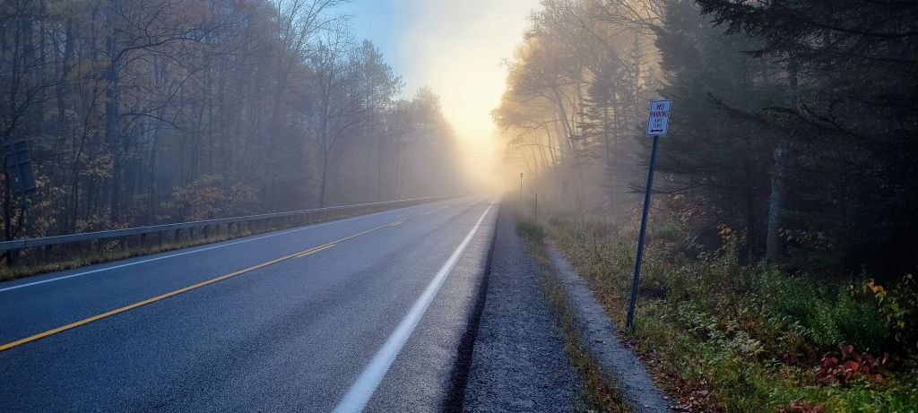
The High Peaks trails have become so popular in the last 10-15 years that safely parking to access the trailheads was becoming a serious issue. For safety reasons, the local municipalities and landowners had to prohibit parking on certain roadsides and also require reservations for other designated parking areas. Since I decided on Noonmark via Round Pond, I also knew that parking spots would be limited as that trailhead serves hikers going to Round Mtn, Dix Mtn, and Noonmark as well as campers going to Round Pond. Needless to say I was a little concerned about finding a spot.
As luck would have it, when I arrived just before 8am, I found 1 spot left in the main lot for the Round Pond trail. Perfect!
The sun was just starting to burn through the cool mist, you can also see all of the No Parking signs along the road
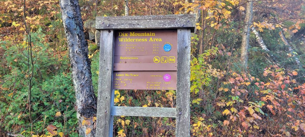 It's been a while since I've been at this trailhead.
If you've ever been, you know that as soon as you sign in, the climbing starts as you side hill the steepness that is right next to the road.
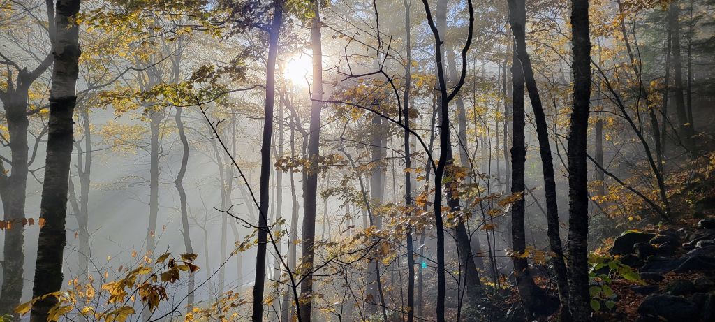 The sun fighting thru the mist and trees made for an awesome sight and a
great picture.
After the initial climb to get above the road, the trail starts to turn away from the road and begins to level off a bit. The early sun and vibrant fall colors made me feel like I was in a painting. There wasn't any wind to speak of and everything was still wet from yesterday's rain so it was also eerily quiet.
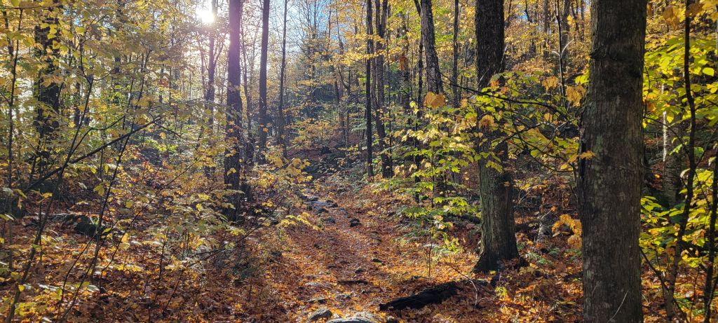
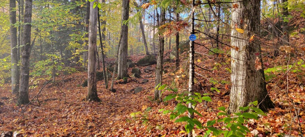
This early section of the trail is a very gradual climb and even starts to descend as you eventually come to Round Pond.
Like I said, I was in a painting.
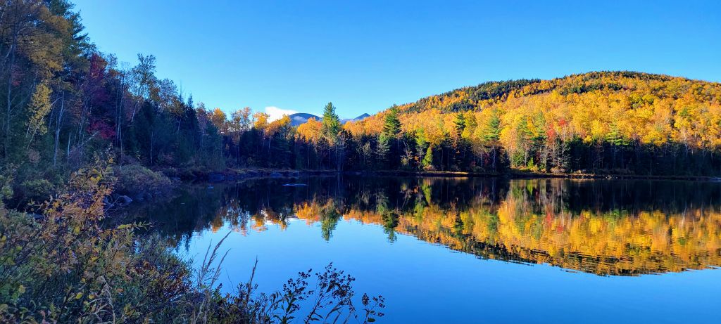
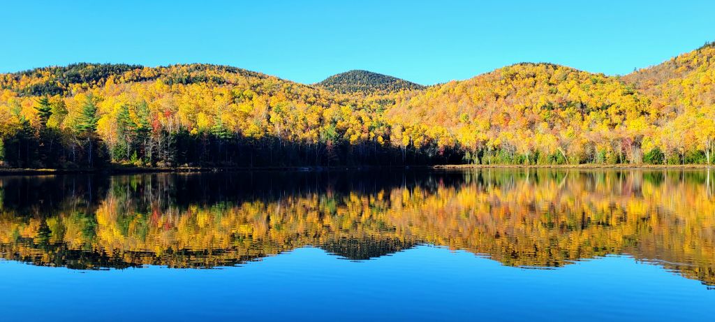
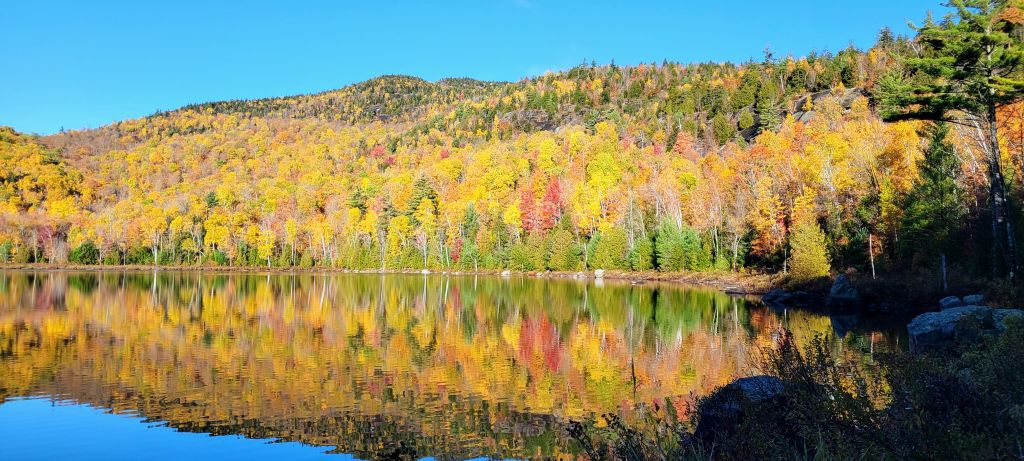
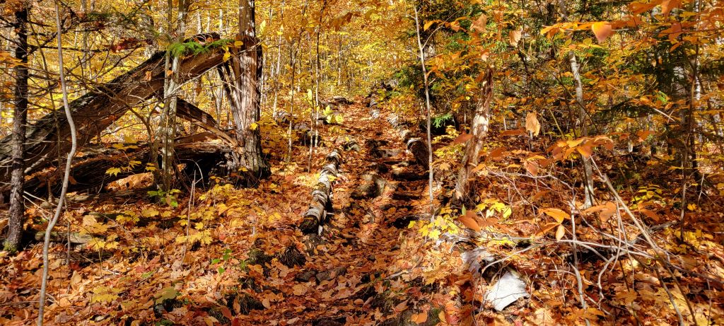
The trail skirts along and around the Pond before it veers off right and starts a very gradual climb through a forest of hard and softwoods who's leaves had completely covered the ground and the trail. It was about here that I decided to lose a few layers as the sun was now getting stronger in the sky and I was starting to sweat from the hike. The woods were still eerily quiet and beautiful
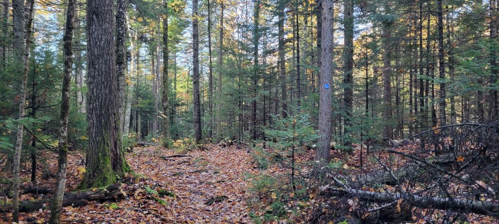
After covering some distance and gaining a little altitude, the trail veers slight left and enters a coniferous forest that also happened to be in the shade of the hill I just navigated around. So, now that I am down to only a T-shirt and wet with sweat, it decides to be cool and damp. Fun.
It wouldn't be long before I was standing at this junction and thinking of the old blues tune first done by Robert Johnson I think. Famously covered by Cream among others. Lynyrd Skynyrd actually did a respectable live version covering Eric Clapton's version of course, not Robert Johnson's original Cross Road Blues.
But I digress.
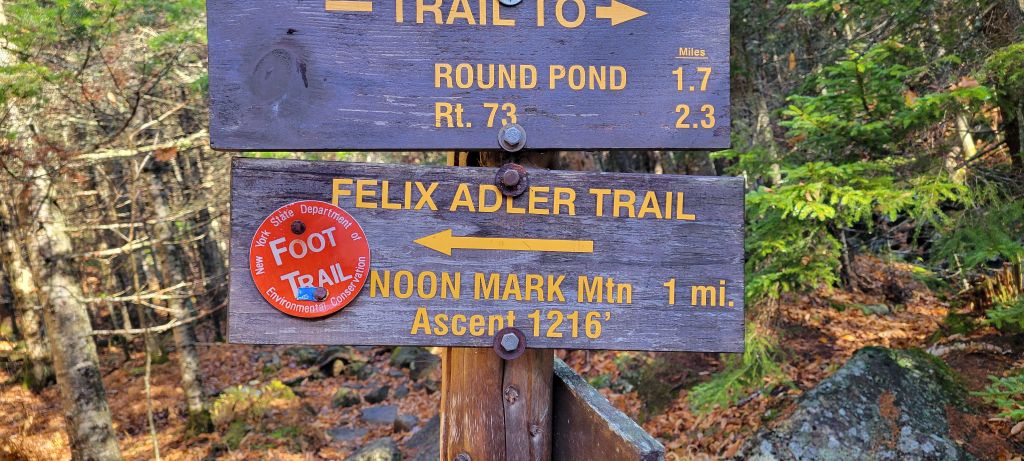
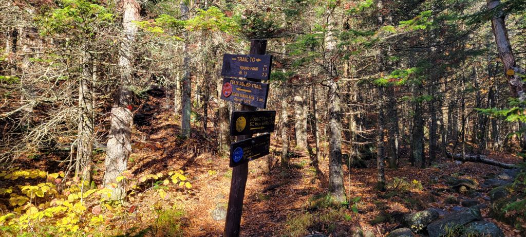 Can we zoom in a little please?
Yikes, 1,200 Feet in a mile, that is going to hurt.
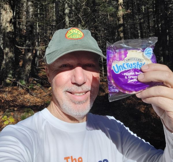 Time to power up!
After enjoying the greatest hiking snack on the planet, getting pre-hydrated and mentally prepared, I left the crossroads and started the climbing in earnest towards the summit.
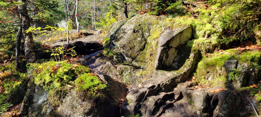 The once smooth trail has now become a series of boulders and bare rock
to navigate.
Looking back, I am starting to get some views as I gain altitude with every step.
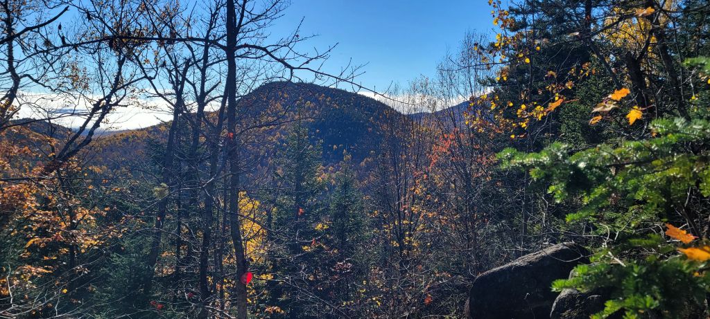
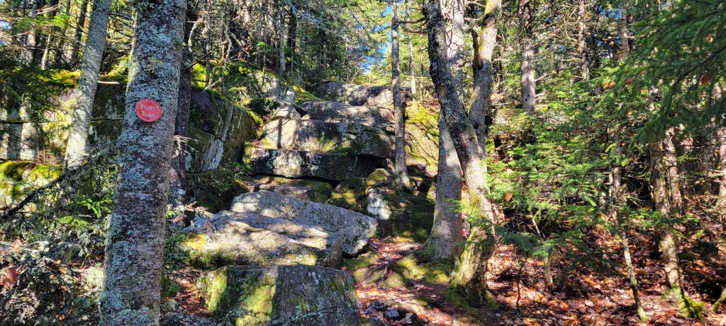 I do like it when I have natural stone steps to climb, but these were
made for a giant.
After much of the same, I reached this spot and could start to feel like I was closing in on the summit. I was glad this side of the mountain was in the sun, at least the bare rock was dry enough to navigate safely.
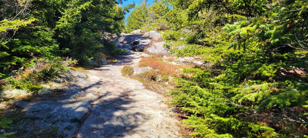 Getting close now.
Once I cleared this, of course I wasn't quite there yet, the trail levels off a bit and navigates around the right hand (north) side of the summit before the final push to the mostly bare rock top.
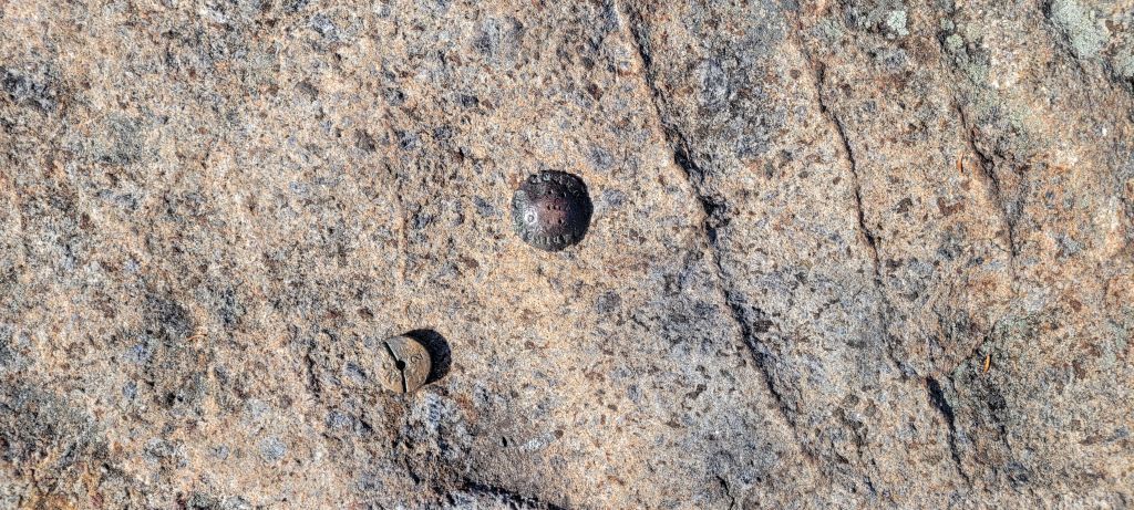 Boom
I remembered why this mountain is a favorite among hikers when I realized the 360 degree view, and the clear day and fall foliage just enhanced the experience.
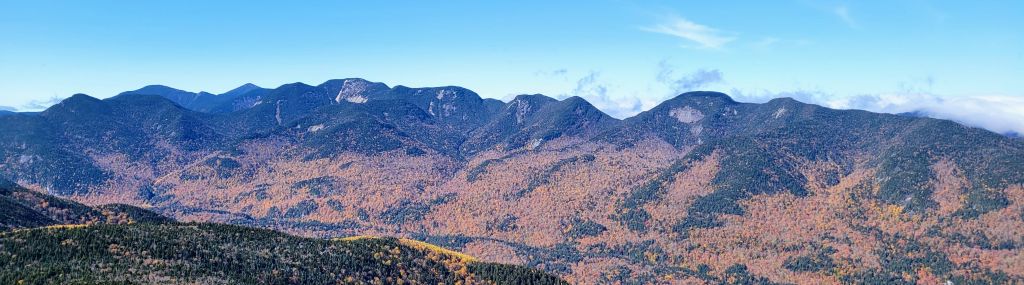
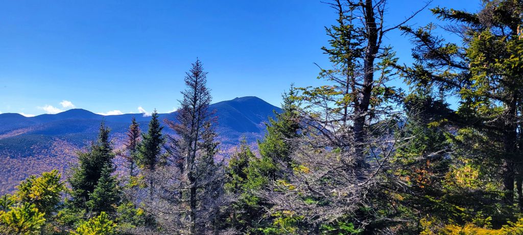 Looking southeast, the mighty Dix mountain looms large.
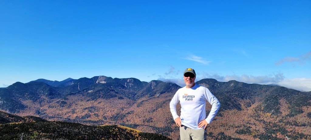
The view only gets better as you pan towards the west until the entire great range comes into view.
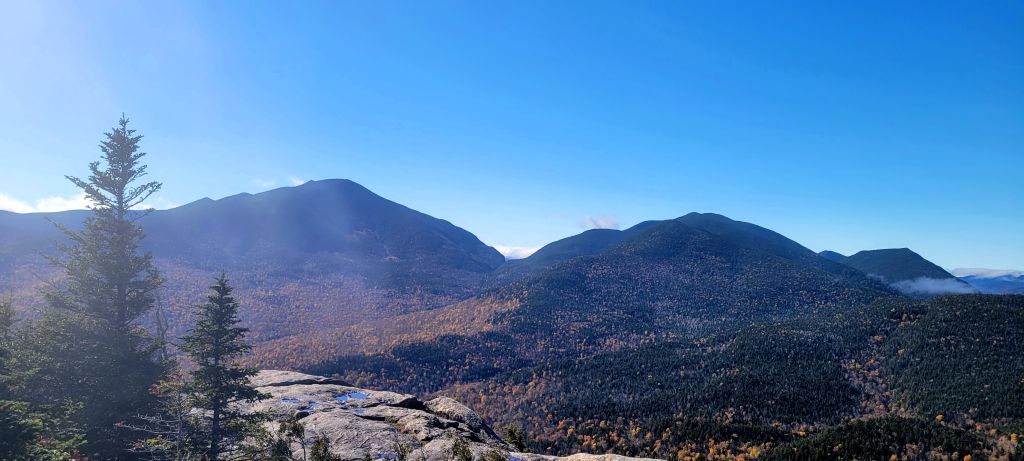
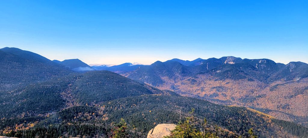
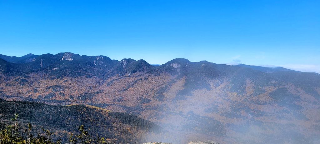
Continuing west, you are looking over the AMR and Keene Valley.
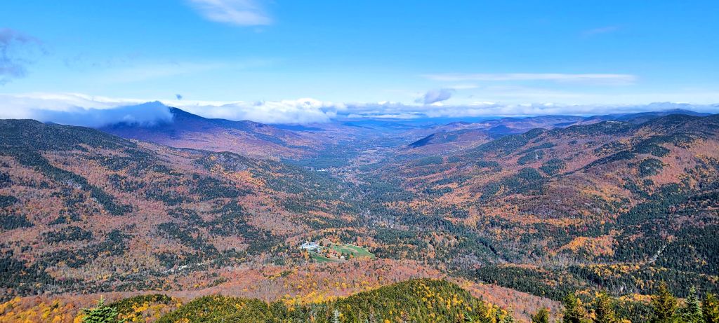
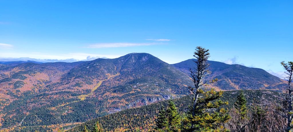
Looking north, the Giant of the valley looks close enough to touch, I mean it is right across the street after all
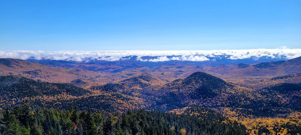
And finally, coming full circle and looking east, the beautiful fall foliage stands out down below as the Champlain Valley with its own weather system dominates the background.
Conclusion:
It was great to get out and hike this mountain again, I had forgotten just how awesome it is. As I type this, I am inspired and motivated to get out again as soon as possible before winter arrives and hike another Adirondack mountain that I haven't done in a long time, or maybe one that I've never done. There are still plenty to choose from. I am also realizing that I am not the mountain goat I once was, so these "lesser" peaks are plenty challenging enough for me and offer great reward.
Back to Top