Esther Mountain, April 14, 2017
Esther Mounatin was so named after Esther McComb, who discovered the peak quite by accident! At the age of 15 in 1839, Esther was attempting to climb Whiteface from the north. Apparently she missed the mark and instead made the first recorded ascent to the peak that now bears her name.
Esther Mountain is also the northernmost peak on the 46er list, and on the way to the trailhead, we passed by the North Pole and Santa's workshop. I think Santa may still be in Cabo 'cause no one was home.

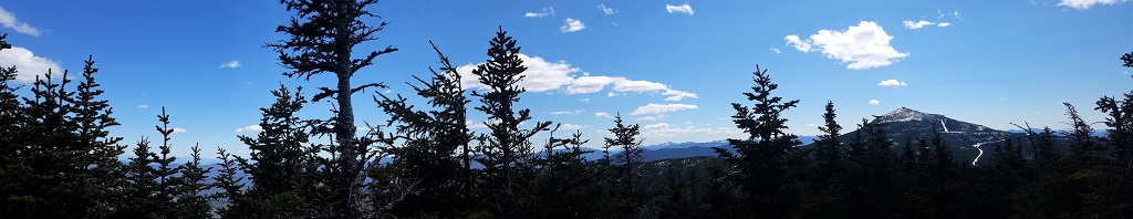
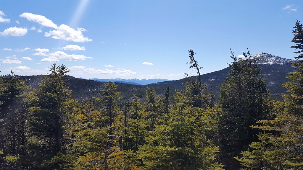
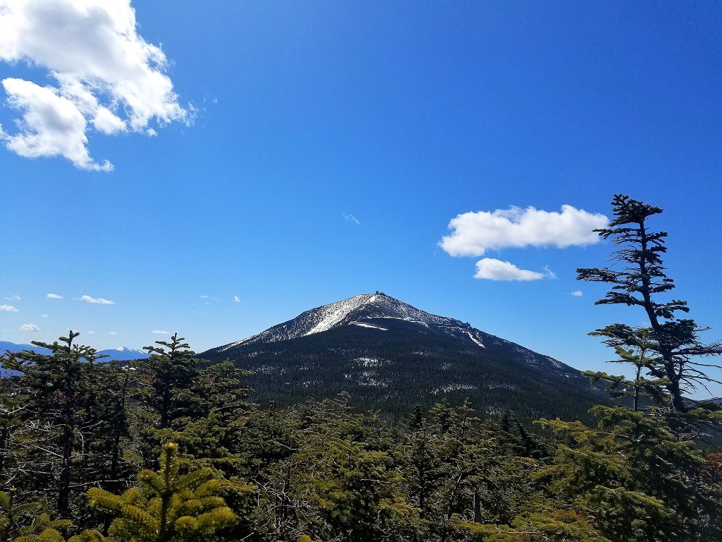
The peak itself is wooded for the most part, but through the trees Whiteface looms large and the entire Great Range can also be seen in the distance looking south. Of course it helps if you are blessed with a clear blue sky day, which we were on this occasion.
 More from the summit a little later.
Brendan and I started at the trailhead near the ASRC (Atmospheric Sciences research Center), which is a shorter but somewhat steeper trail to Marble Mountain and the junction with the Whiteface trail. The trail is officially "unmarked and unmaintained" but very easy to follow, once you find it that is! There is also a snowmobile trail close by and we may have allegedly started walking down it for a couple hundred yards or so before listening to our internal compass telling us we were going in the wrong direction.
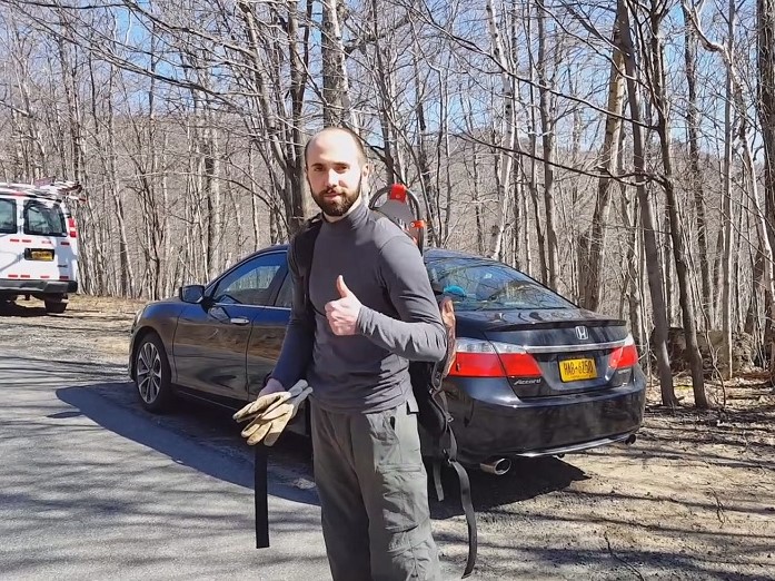
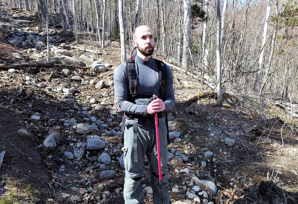
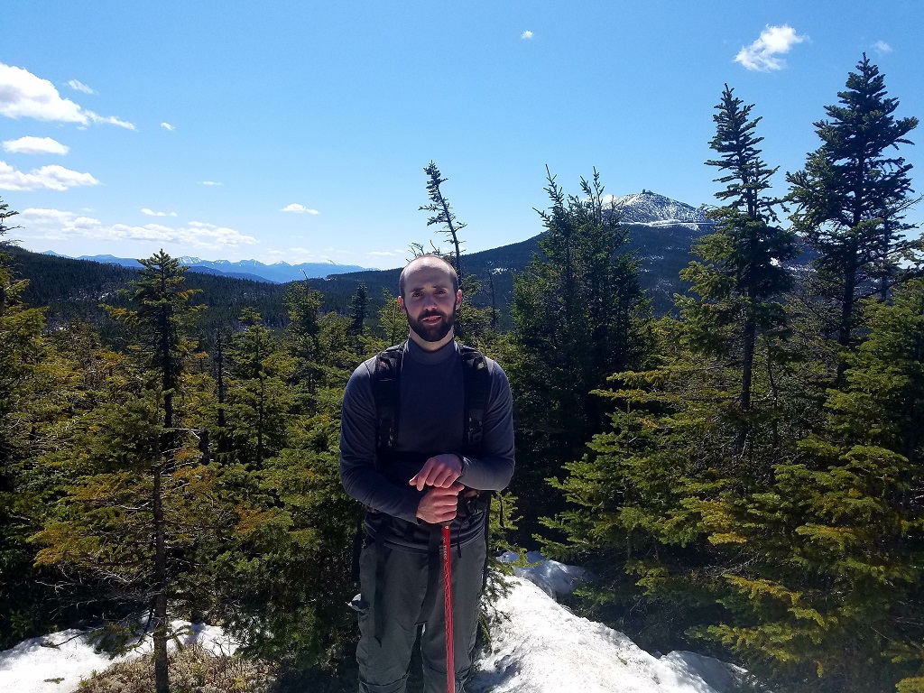
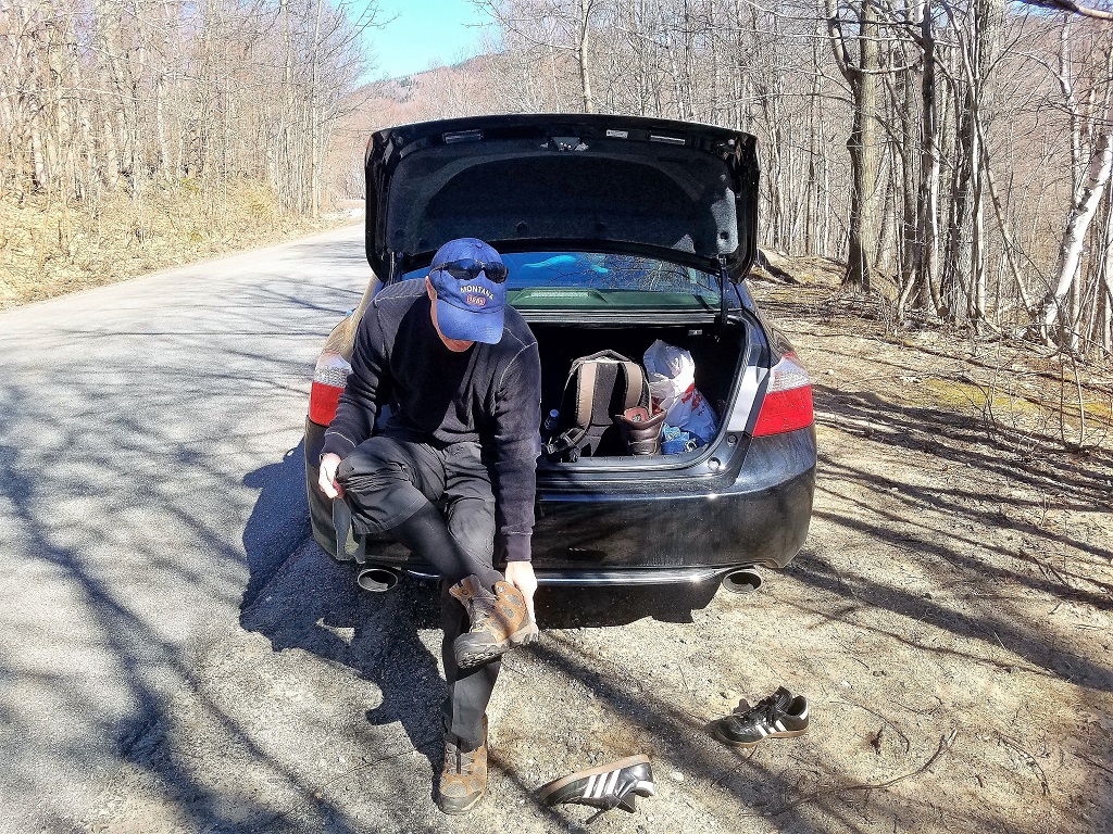 Changing from driving shoes to walking shoes, Brendan is ready to go
as well
Changing from driving shoes to walking shoes, Brendan is ready to go
as well
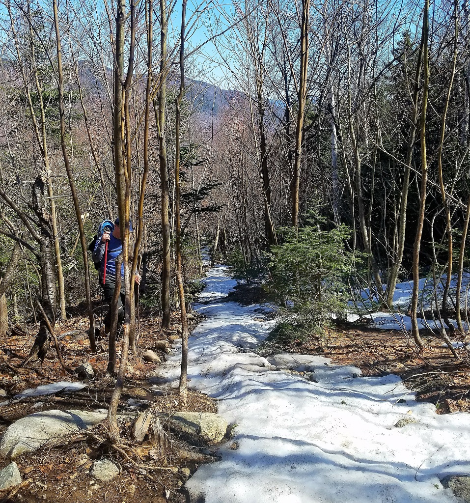
As we started to ascend the unmarked path straight up to Marble Mountain, initially there was no snow, but very quickly we began to experience a snow "spine" in the middle of the trail and it would increase rapidly as we gained altitude.
We saw two interesting little shelters on the way up, and they were both right on the edge of the trail, I'm curious what they were used for and if there are more on the way to Whiteface. I guess you would call them a Lean-One?
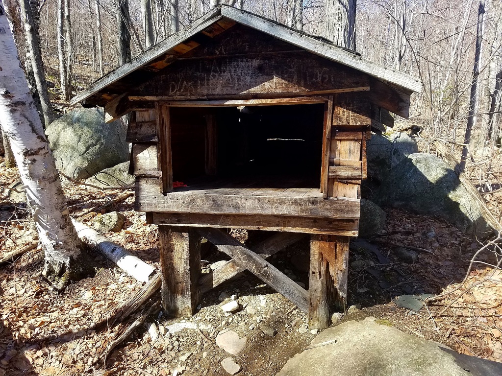
So, while still in the process of updating this page, I received some information on one of the hiking forums I belong to that these were used to store emergency gear and are known as sled sheds. Apparently before there was skiing on Whiteface there was skiing on Marble Mountain.
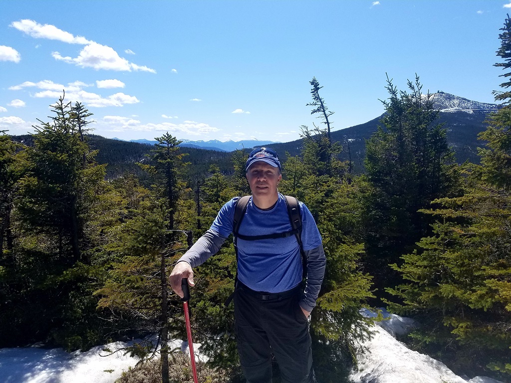
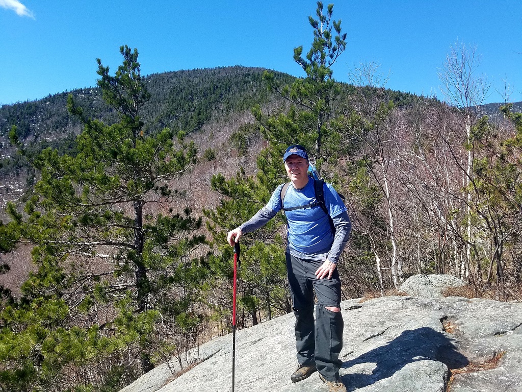 Taking a short break on the open outcropping of Marble Mountain to
enjoy the view and the sun!
Taking a short break on the open outcropping of Marble Mountain to
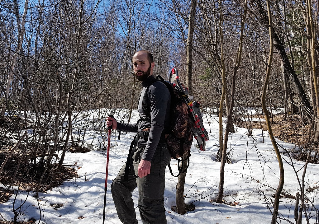
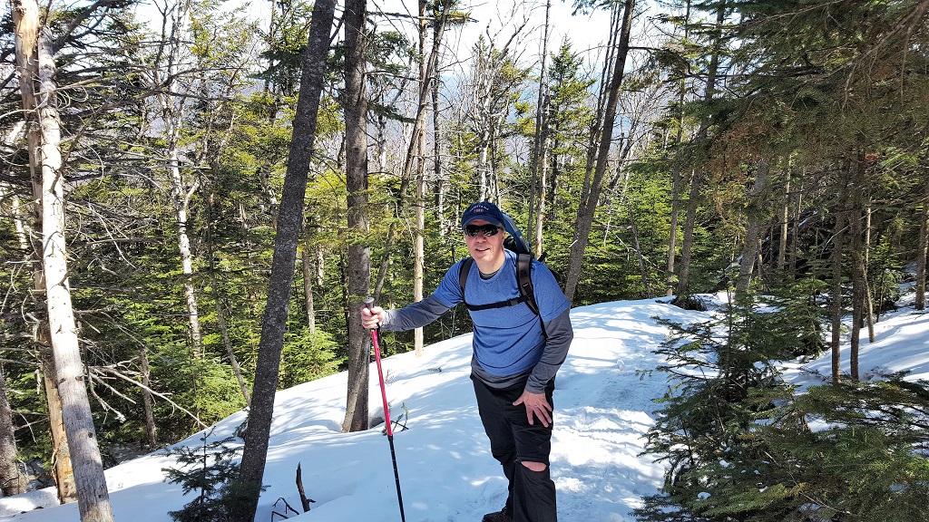
enjoy the view and the sun!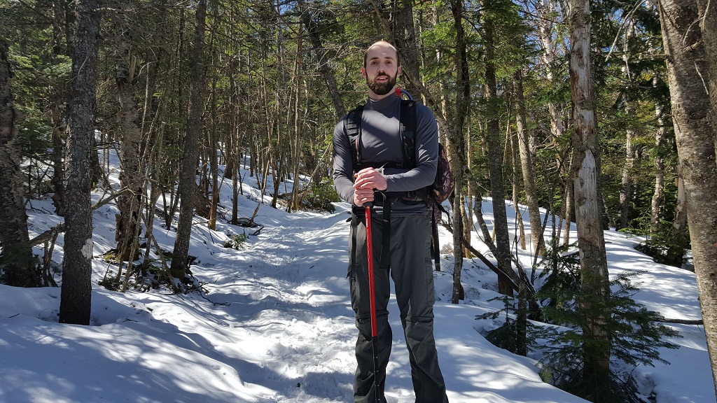 On the way to Lookout and starting to think about putting on the
snowshoes.
On the way to Lookout and starting to think about putting on the
snowshoes.
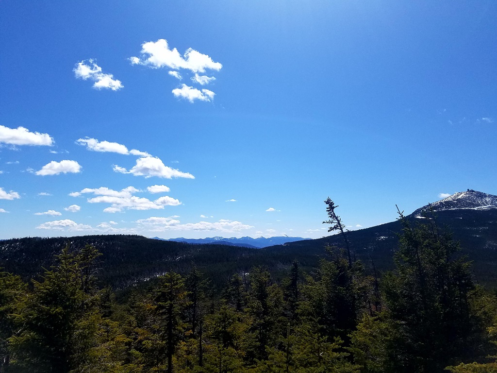
The day was really turning out to be perfect, it is rare when you can be in the mountains and have little to no wind, low humidity and bluebird skies. Along the ridge to Lookout, Whiteface dominates your view through the trees and seems close enough to touch. It was tempting to summit on this day, but I want to save it for number 46.
 1 mile to go!
The snowshoes were definitely an asset to have if nothing else to help with the traction because the snow was melting and loose in many spots. There were also some areas where the base was still well over 3 feet.
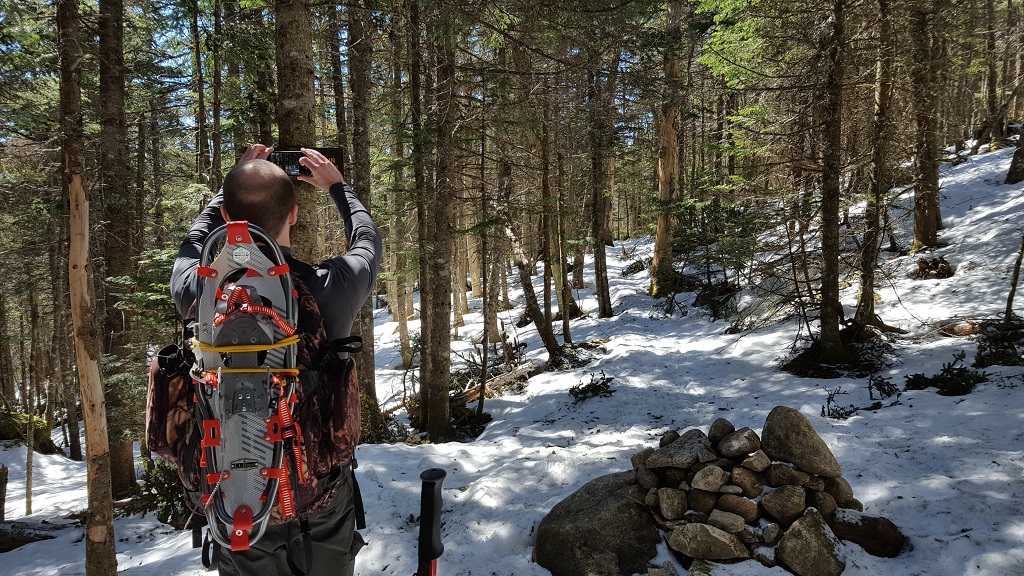
 So here's a picture of me taking a picture of Brendan taking a
picture of me ....
So here's a picture of me taking a picture of Brendan taking a
picture of me ....

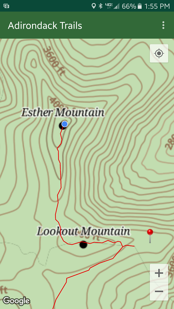
So we made the summit fairly quickly from the junction, again the snowshoes helped with our traction and speed. The summit itself is wooded and there are no longer any indications (signs) that you are there. I understand there used to be a plaque commemorating Esther McComb but that is gone as well. So just to make sure I could officially check it off the list, I checked my Adirondack Trails App.
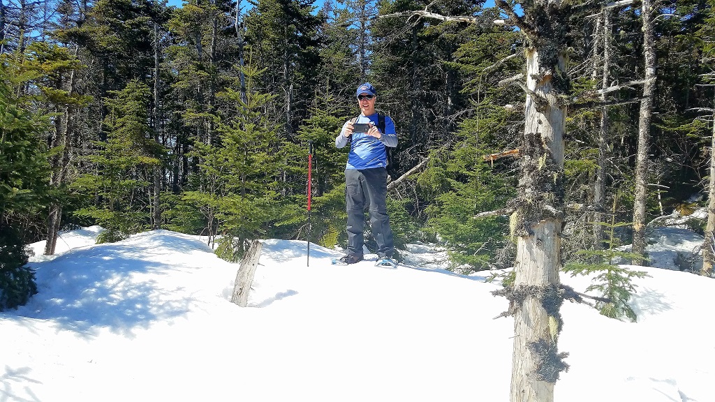
 Yup, we're here.
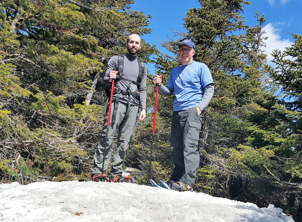
 A couple of happy peak baggers doing what they love on a perfect
day!
A couple of happy peak baggers doing what they love on a perfect
day!
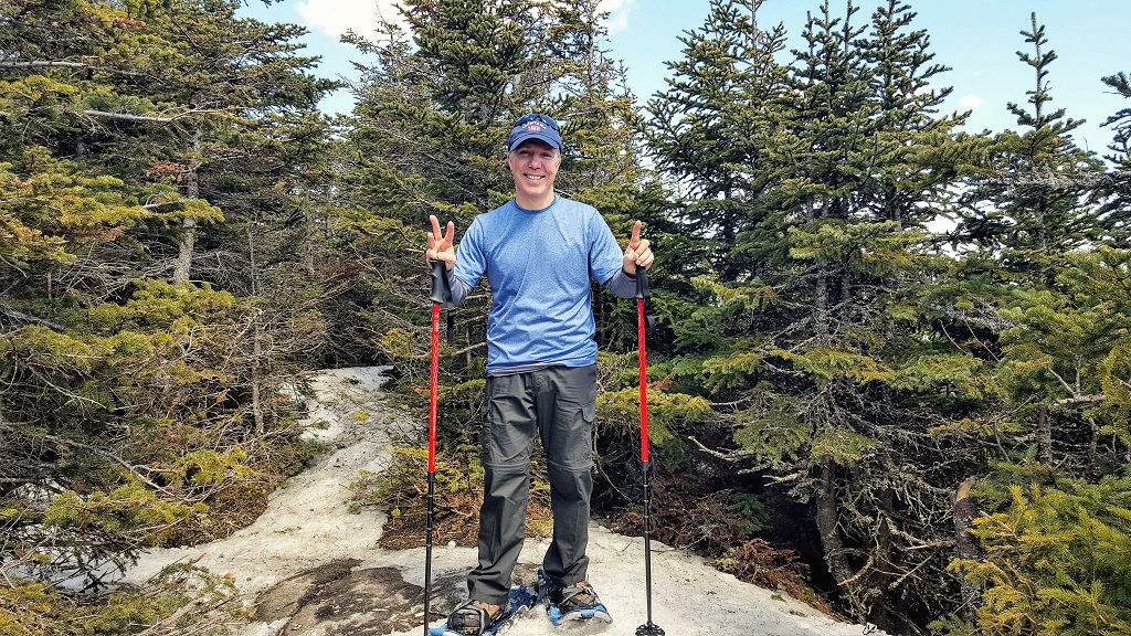 Here I am on the official summit recording number 31
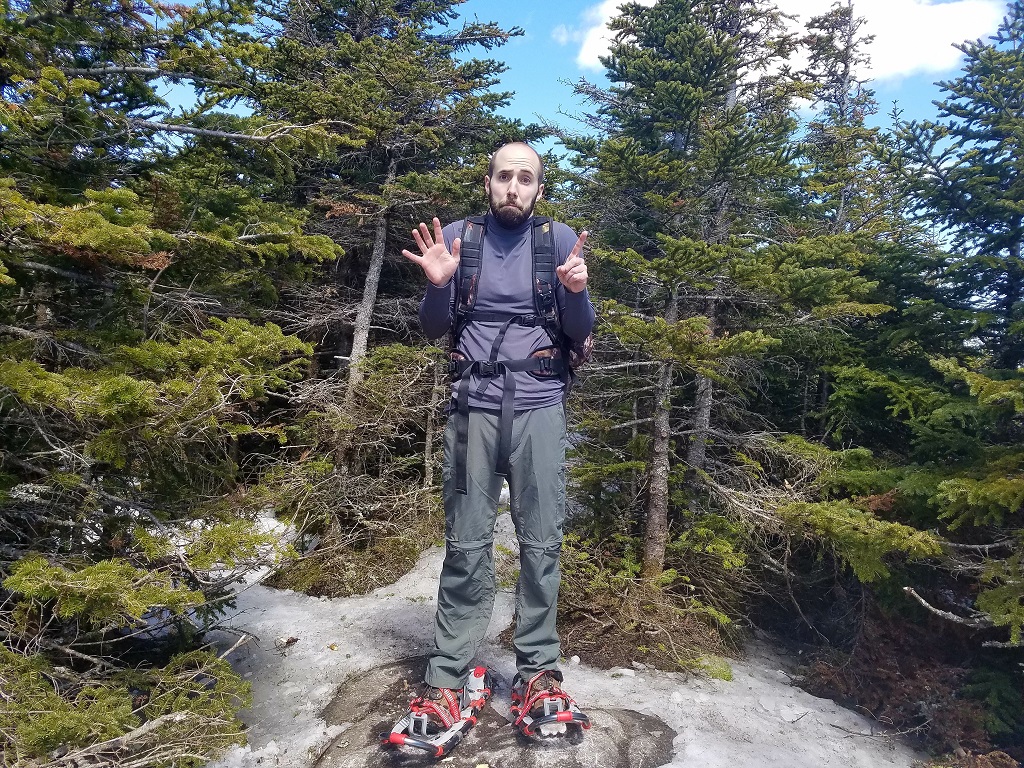 Nope,
not 51 for you
Nope,
not 51 for you
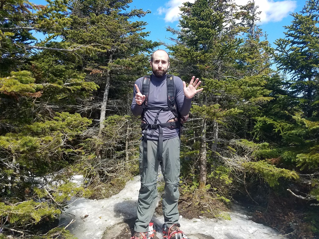 Not 15 either, actually Esther is number 16 for the Mountain Goat.
but...unless you just happen to have 6 fingers on your left hand, you could not properly illustrate the tally.
What a day and what a place!
Back to Top